
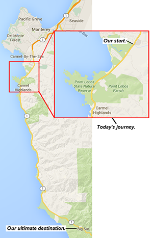
A Journey to Big Sur (Part 1)
In which we make our departure from the Crossroads in Carmel and take in the beauty of Point Lobos State Reserve.
 When you’re talking about Big Sur, it’s not the destination, it’s the journey. The exceptionalness of the experience really begins about 20 miles (45 minutes) to the north.
In the mood to make passage to this magical place? If so, you’re in luck, because we’re providing you an opportunity to jump in the backseat of our car and join us—over the next three or four blog posts—as we drive southward to consume whatever amazements and amusements wait for us. We may even add a personal recollection or two along the way, as this is a road we’ve traveled many times.
Given its relative close proximity to SSCS (definitely a fringe benefit of working here) and the (somewhat) concentrated population of the Monterey Peninsula, it’s hard to believe just how otherworldly the attributes of Big Sur and its surrounding region can seem. In large part that’s what makes it captivating: visitors can voyage to a remote, timeless land and, if they so choose, be back in time for dinner.
It all starts at the southernmost limit of Carmel, California, the intersection of Rio Road and the only road that matters, at least for the balance of this trip, California State Highway 1.
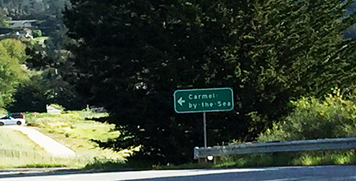
 It’s a pretty innocuous beginning. A modern shopping center called the Crossroads with some good casual restaurants (shout out to R.G. Burgers!) figures prominently. There is little indication you are at a figurative gateway separating civilization from the overwhelming presence of nature.
Well, we guess the pig crossing sign might provide some kind of clue.
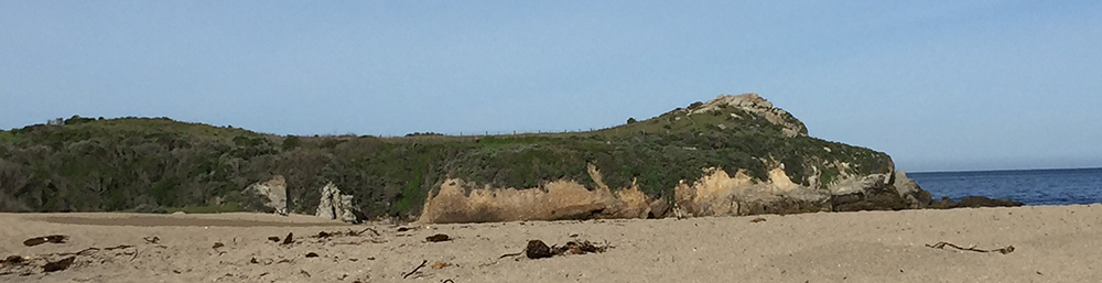
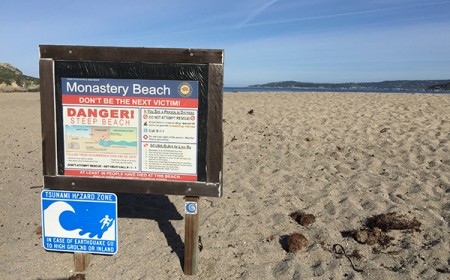 As we begin our progress southward, the Pacific Ocean to wastes little time making its presence known on the right (where it will remain for the duration of the trip) as the hills, houses, and trees recede in deference to Monastery Beach.
The beach, though a consistently popular place to visit, has a reputation for treacherous currents and life threatening undertow. For that reason, locals know it as Mortuary Beach. One local writer, a part-time diver himself, wrote a short story by that name about the potential devastation that can befall even the most prepared.
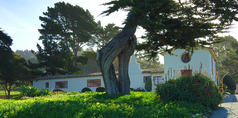
The fact remains, however, that the true name of the beach is Monastery Beach, and that’s because rising into the sky, right across Highway 1, is the Carmelite Monastery, built in 1931 and home to a cloistered order of Carmelite nuns. Its beautiful, peaceful grounds are maintained by the order.

A small convent just south of the monastery is quaint in its own right.
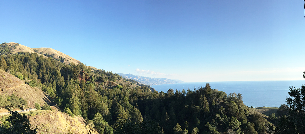
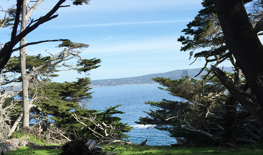
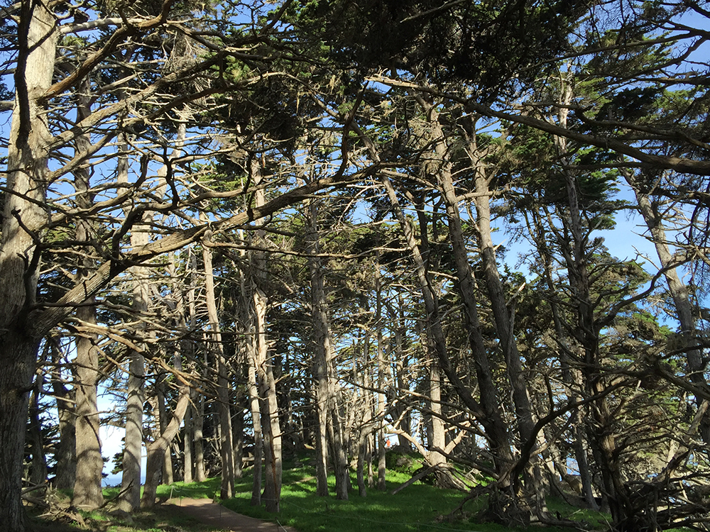
Less than a mile down the road from Highway 1 is the highlight of today’s leg of the journey: Point Lobos State National Reserve. This isn’t the last state park we’ll be visiting, but it is the most impressive and can stand up against any recreational area in the California State Park System.
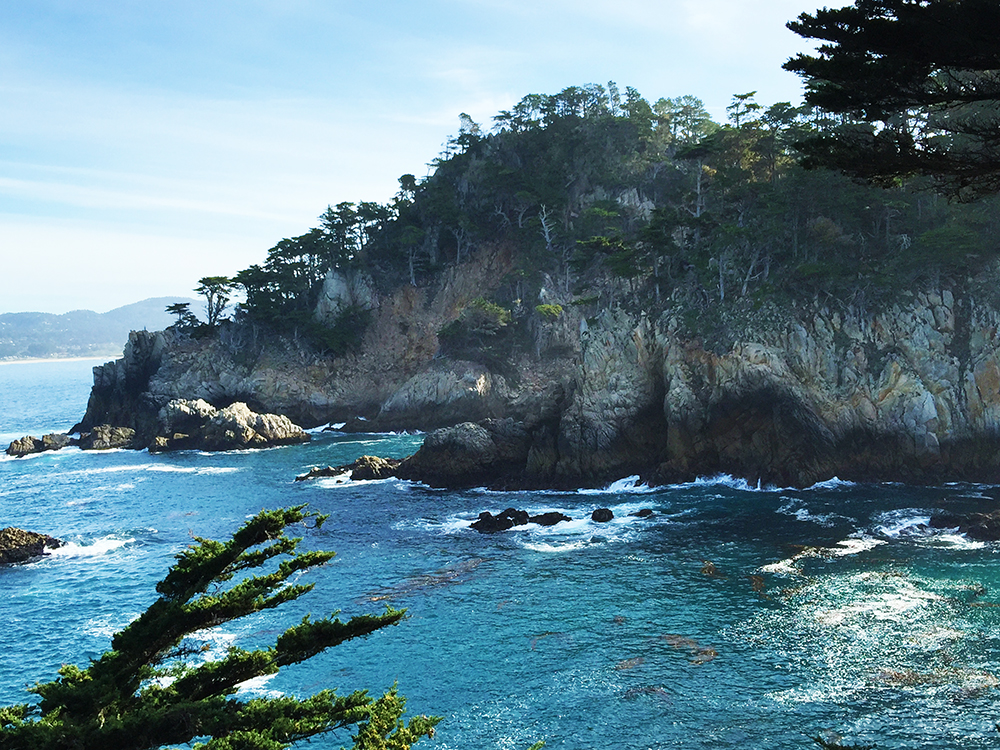
The thing that makes Point Lobos (and quite frankly, so many other attractions on this journey) so great, is the staggering juxtaposition of earth, sea, and sky that’s featured throughout. We hope the pictures included here provide some sense of just how impactful the combination can be.
Insider’s tip: it’s $10 to bring your vehicle into the Point Lobos proper, but if you are willing to park on Highway 1 and walk back in (it’s a little over a mile until you get to the good stuff), you can enjoy the surroundings for free.
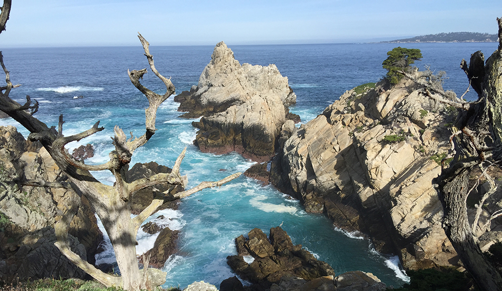
After you tour Point Lobos and jump into your car to travel south, we hit the next major demarcation of our journey: the Carmel Highlands. We’ll wait until next time to visit what is essentially the last outpost of civilization before we hit the Big Sur Coast. For now, here’s one last shot of Point Lobos.
To continue on to Part 2, click here.


Recent Comments